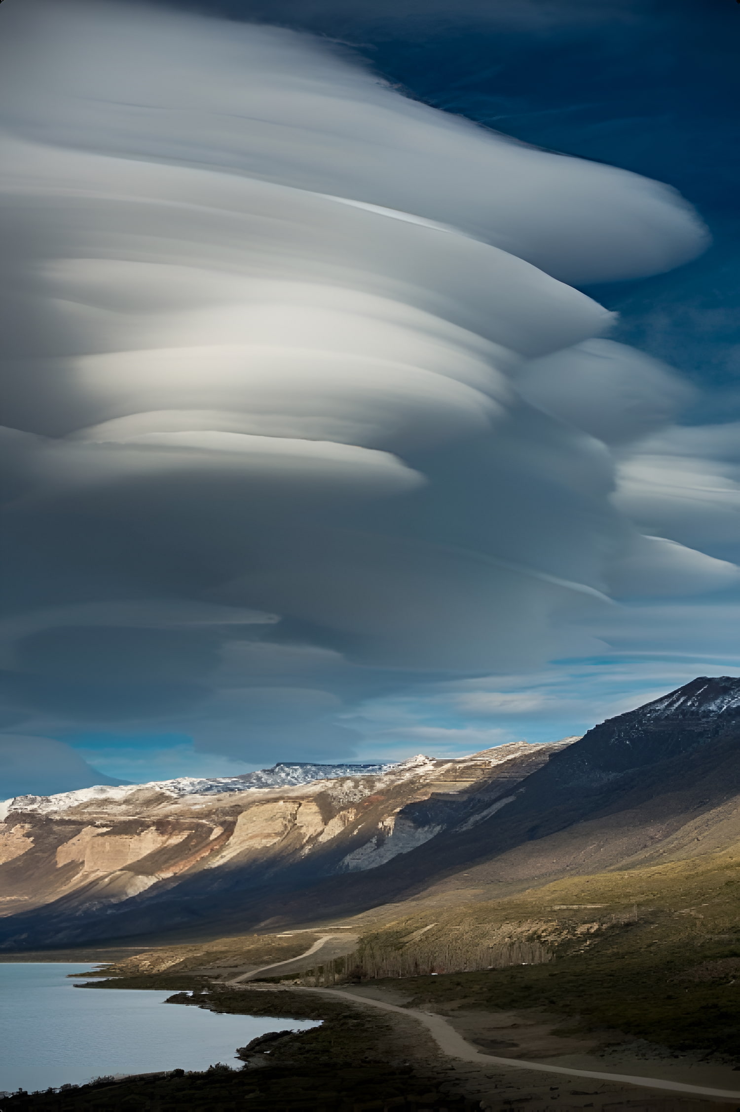
Tagua Tagua Hike
details:


Starts and ends at:
6.00 am Puerto Varas o Pto Montt. Abordar el ferry boat a las 7.30 am y regreso a las 5.30 pm en ferry luego a Pto.Varas a las 8.30 pm aprox

DURATION:
1 Day

Distance:
13 kms 8 milles

Hours Walk:
5.30 hs

Difficulty level:
Medium

Transportation:
Private vehicle. Ferry crossing/boat drive

Terrain:
Could be muddy walking in forest undulating and some steep short sections.

Equipment to bring:
Snacks water at least 1.5 liters warm clothing insect repellent depending on the climate waterproof clothing trekking shoes or running shoes. Sun protection cream hat and glasses.

Safety:
Emergency equipment communication by Radio VHF, first aid kit.

Included:
Lunch box, entrance fee to park, boat trip to the park, land transportation, private professional guide with Wilderness First responder Certificate, knowledgeable in native flora and fauna.

Not included:
Insurance tips.
Programme
The most exciting aspect of this excursion is the opportunity o immerse into the Valdivian Rainforest with little to minimal human intervention. This private park called Tagua Tagua is part of the concession granted by the Chilean government to the University Mayor. It encompasses a rich variety of trees, birds, fungi, lichens, and with low tourist density, which helps regulate trail erosion.
A private project in the Lakes Region.
We’ll drive to Ralún and head towards Cochamó along the Reloncaví Sound, perfect for hiking and kayaking. The views improve as we progress, making it feel like we’re leaving the modern world behind. The country road leads us to Tagua Tagua Lake, part of the Puelo River, which starts in Argentina’s Patagonia and flows northwest into the Reloncaví Estuary.Upon reaching Puerto Maldonado, we’ll take the speed boat to the Tagua Tagua Park.From there, we’ll reach the trailhead and disembark at the park’s hidden entrance, beginning our hike through a pristine temperate rainforest.
During the 4.5 miles hike, you will be amazed by the ancient and century old trees and unique biodiversity we’ll reach Refugio Los Alerces, a cozy cabin by a beautiful lagoon. An ideal place to enjoy a well deserved packed lunch and rest. The return is the same way back. Total elevation is 535 meters (1,755 feet) and the walking distance is approximately 9miles (13 kilometers) return.
Reviews

What our customers say about
their experience traveling with us


Patagonia- Argentina and Chile Trekking discovery.
All in all I had a wonderful life altering experience. Had a great group of people we traveled with and the guides in Argentina and Chile were exceptional. They paid attention to the needs of the group and provided great knowledge of the region cultu