Calbuco volcano, along with its neighbor Osorno, is one of Chile's most active volcanoes. It is located 11 km south of Lake Llanquihué and 30 km NE of the town of Puerto Mont in the Lake District in southern Chile.
Calbuco volcano consists mainly of blocky lava flows and tephra layers, and its summit is truncated by a 400-500 m wide summit crater. Debris avalanches from Calbuco have reached Lake Llanquihue.
One of the largest historical eruptions in southern Chile took place from Calbuco in 1893-1894. It ended with the formation of a lava dome in the summit crater. Later eruptions have enlarged the lava-dome complex. This volcano erupted last 22nd April 2015 making it difficult to reach the mountain hut and base for the Summit. Calbuco Volcano is the third most active Volcano in the Region after Villarica and Llaima with 203 meters above sea level. In November 2018 CONAf has reopened the trails to the abandoned base camp to summit it.
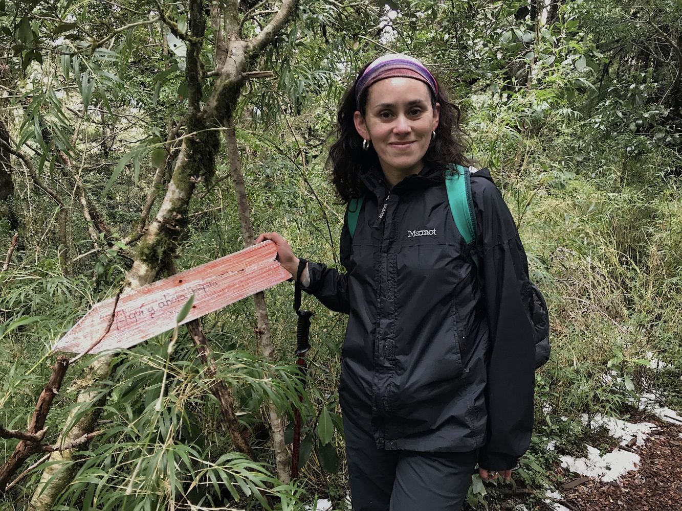
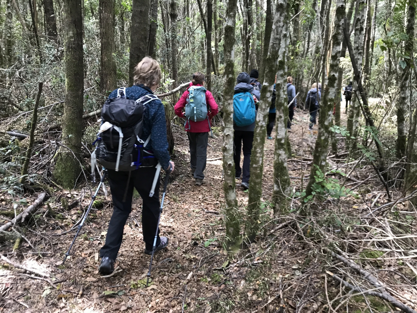
The trails remained clear and they are being kept by the park ranges. They are clear and safe with a professional trekking guide.
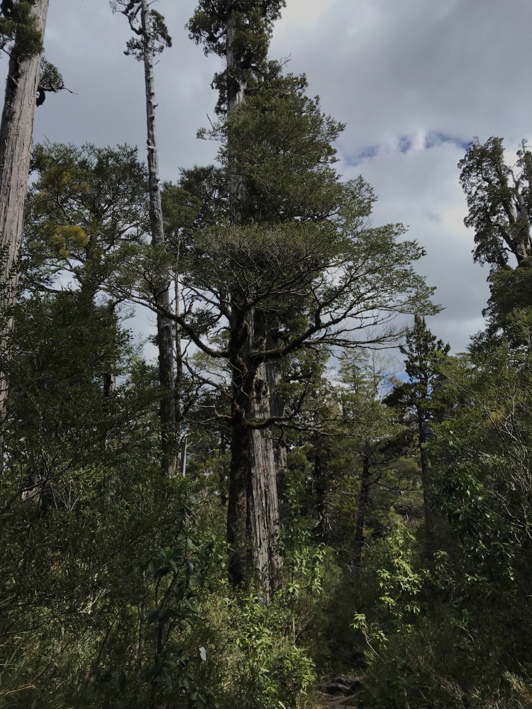
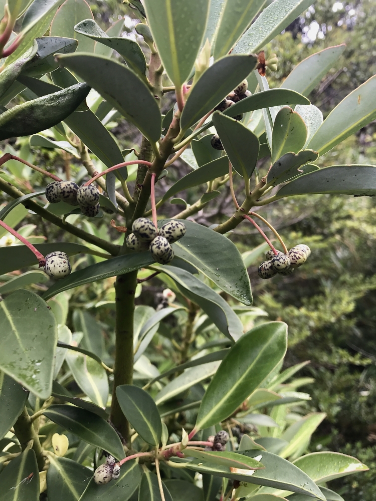
A Full day trekking excursion to this special volcano, because its live scenery going on along the Rio Blanco river. Luckily the ancient forest with 3.000 years old trees, the Alerce (fitzroya cupressoides ) are still green, alive and healthy as well as other giant trees like coigues ( nothofagus family).
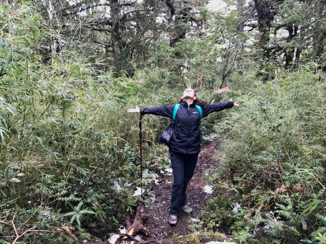
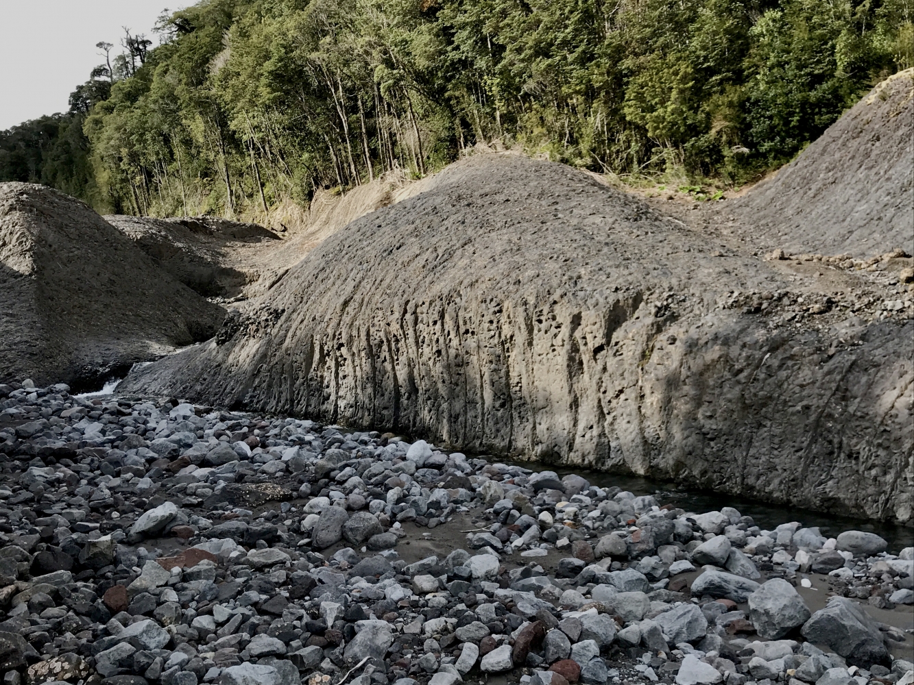
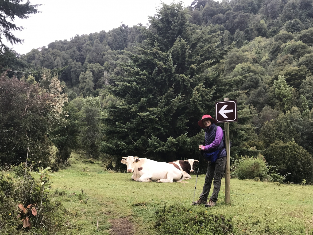
We will pick you up at your hotel in Puerto Varas or Puerto Montt, drive to Puerto Montt and take the road southwards enjoying the views of the Reloncaví sound and its amazing colors! After 1-hour drive along the rural landscape we start the walk at 300 meters (984 feet) asl at the shore of Río Blanco. The trail starts to ascend the Volcano Calbuco going through the last lahar of the eruption in 2015, your guide will explain how this happened and why. Truly brutal landscape just in front of us going deeper into the millenary woods. After 1,30 hs walk, we begin to see old larches and arrive to the view point where we can have some lunch and enjoy a rest with the Calbuco Volcano in front of us. If the weather is good to continue we will carry on to the refuge, at 1.000 meters (3280 feet) above sea level, the last section is very steep and enclosed by ancient larches, spectacular unspoiled vegetation of the Valdivian Forest. Views from Puerto Montt and the Pacific Ocean even!
Timing and distance: 8 kilometers to walk one way, or 5 miles 1.30 hs to the view point and 1.30 hours walk more up to the refuge, 2.30 hs down back to the car park.
Starts at : Puerto Varas, 9:00 am
Ends at: Puerto Varas, 18:00 pm
Location: Volcán Calbuco, Reserva Natural Llanquihue,Lake District, South of Chile.
Difficulty level:
If we reach the view point: Easy-medium 1,5 hs one way.- Reaching the Mountain Hut: Medium-high. 3,30 hs one way depending on the pace and weather conditions.
Duration: 8-9 hours in total, 1.10 hours drive from Pto Varas or 40 minutes from Pto Montt to the park.
Transportation:Private vehicle.
Equipment you need: Snacks, water bottle 1 litre. Trekking shoes, waterproof rain jacket, waterproof pants, sun protection (sunglasses, hat) warm clothes according to season and weather (gloves. Wollen hat)
Included: Private transportation.Entrance fee to the parking, box lunch, private professional guide with Wilderness First Responder Certificate (WFR) and knowledgeable in native flora and fauna.
Terrain: Walk along basalt rock and muddy, slippery sections. In the shade of unforgettable forest with sunny sections and amazing landscape. Gradient:Mostly uphill ascent 700 metres up and down.


 #20Ing.Volcan Calbuco Hike | Trekking | Patagonia Trails.pdf
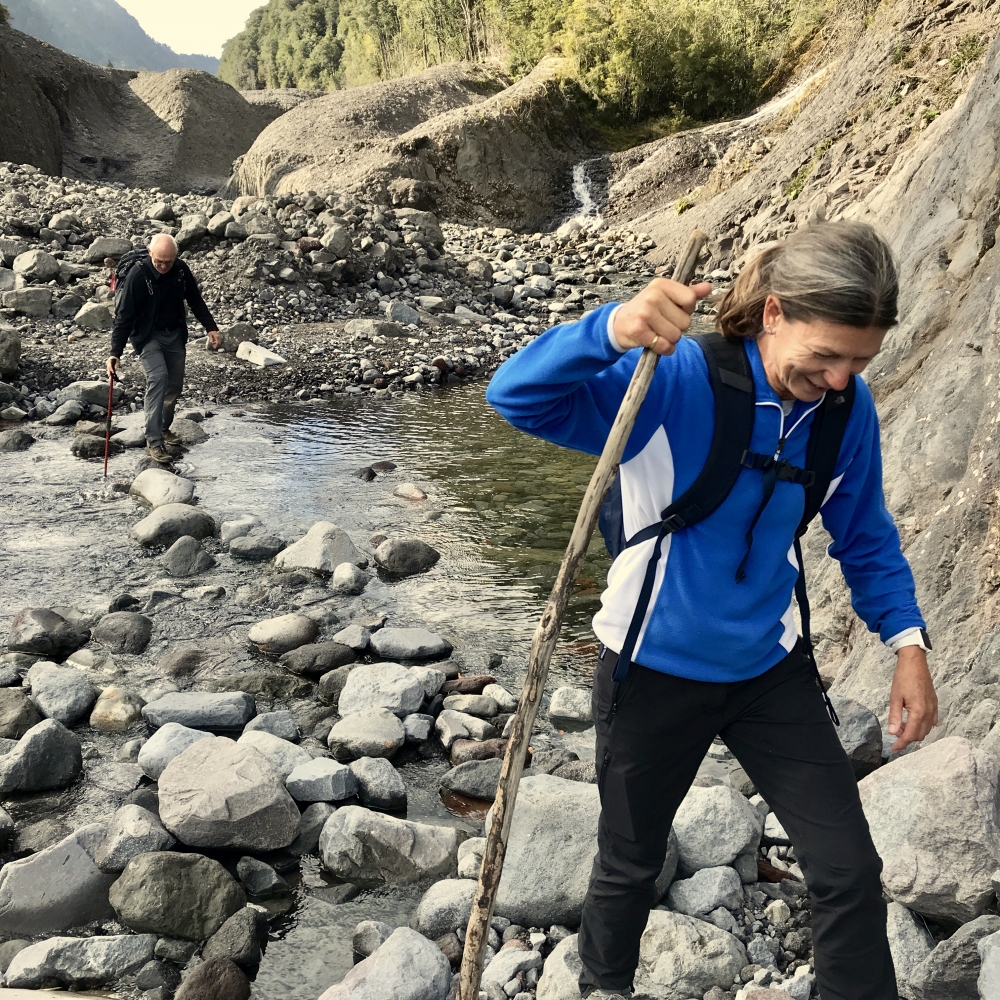